Aerial Photography Index System
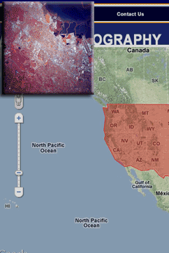
The site is map-driven and houses aerial photography from around the country as well as the world. The imagery is searchable on a number of criteria such as place name, latitude and longitude, location, and image type.
The imagery is low-resolution for web viewing but WETMAAP does have imagery available in higher resolution files and can provide georeferenced world tiffs. Aerial photography is added to the archive index system at regular intervals.
Click to go to the
Aerial Photography Index website
close