Photographic Essay
of
Safety Harbor, Gandy Bridge, Saint
Petersburg, and Port Tampa Quadrangles
Manatee River, Florida
The
photographic essay focuses
The
photographic essay is for use with a series of aerial photographs, topographic
maps, wetland and upland habitat maps, and selected materials that assist in the
identification of changes of wetland and upland habitats and changes in
seagrasses in Tampa Bay.
The
photographic essay identifies habitat changes within the area resulting from
urban, commercial, and industrial development. Emphasis is on comparing ground
level photography with maps and aerial photography aids in wetland and upland
interpretation for the area. The
essay shows representative examples of saltwater emergent wetlands, forested
wetland, wetland scrub-shrub, flats and beaches, upland forest, and urban, and
seagrasses.
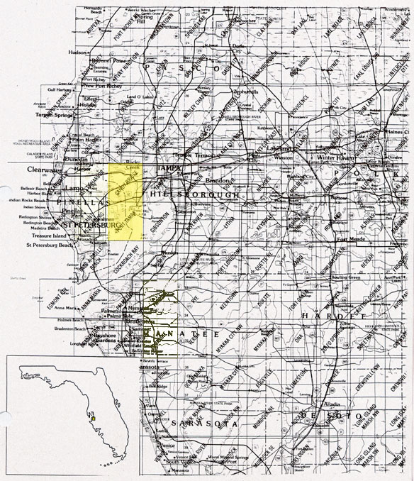
Figure 1: Proximal
Location
The Safety
Harbor, Gandy Bridge, Saint Petersburg, and Port Tampa Quadrangles
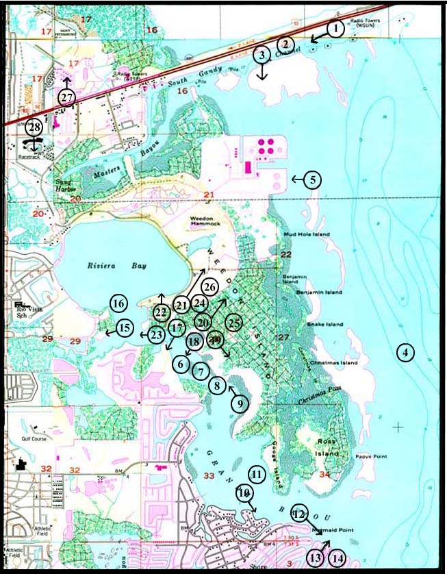
Figure 2: Weedon Island Photo Essay
Ground Photograph Locations With Line- of- Sight
Plate numbers correspond with circled numbers on the reduced section (Weedon Island site) of the Safety Harbor, Gandy Bridge, Saint Petersburg, and Port Tampa quadrangles. Arrows indicate directions of line-of-sight.