Mono Lake
RESOURCES
Manual segments, photography, and maps can be accessed and downloaded from the WETMAAP Website
Binder:
WETMAAP Project Overview
Background Information
Photographic Essay
Educators’ Supplement
Reference Manual
Aerial Photography:
1985 Color
Infrared Mono Lake, CA: U.S. Geological
Survey National Wetlands Research
Center
1999 Color Infrared Mono Lake, CA:
U.S. Geological Survey National Wetlands
1997 Color
Infrared Lancaster, CA: U.S. Geological Survey National Wetlands
Shuttle Image:
1994 March
12 Mono Lake, CA: U.S. Geological Survey National Wetlands Research
Center
AVIRIS Images:
1990 April 24 Mono Lake, CA:
Topographic Profile:
Lundy/Negit Island/Mount Dana/Lee Vining, CA topographic
quadrangle: U.S. Geological Survey
National Wetlands Research Center
Maps:
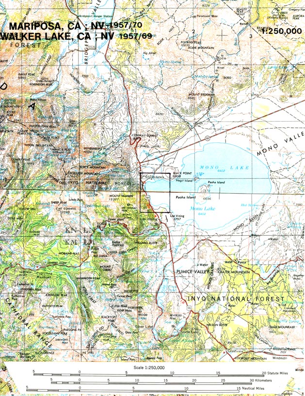
8˝" x 11" section of 1:250,000 scale 1957/70 Mariposa, CA; NV / 1957/69 Walker Lake, CA; NV
8˝" x 11" section of 1:100,000 scale 1985 Bridgeport, CA; NV /1976/88 Yosemite Valley, CA
11" x 17" section of 1:24,000 scale 1994 Lundy/Negit Island/Mount Dana/Lee Vining, CA topographic quadrangle
11" x 17" section of 1:24,000 scale 1958/74 Lancaster West, CA Topographic Quadrangle
11" x 17" section of 1:24,000 scale 1985 Habitat Map: Lundy/Negit Island/Mount Dana/Lee Vining, CA Topographic Quadrangle
11" x 17" section of 1:24,000 scale 1999 Habitat Map: Lundy/Negit Island/Mount Dana/Lee Vining, CA Topographic Quadrangle
11" x 17" section of 1:24,000 scale 1985 Land Cover Map: Lundy/Negit Island/Mount Dana/Lee Vining, CA Topographic Quadrangle
11" x 17" section of 1:24,000 scale 1999 Land Cover Map: Lundy/Negit Island/Mount Dana/Lee Vining, CA Topographic Quadrangle
Other materials: (available from USGS)
Topographic Symbols
Topgographic Mapping
Aerial Photographs and Satellite Images
NASA Brochure