Photographic Essay
of
Astoria Quadrangle
Fort Clatsop, Oregon
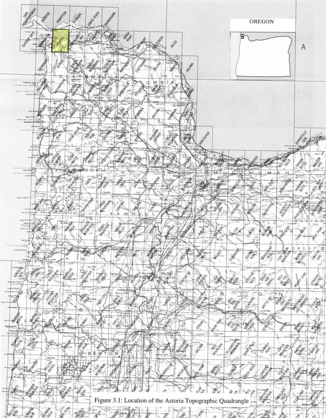
The photographic essay focuses on the area around Fort Clatsop, near Astoria, Oregon. (Figure 3.1). Photographs of selected wetland and upland locations are prints and digital camera images taken by the WETMAAP Development Team, January 5, 2002 (Figure 3.2).
The photographic essay is for use with a series of aerial photographs, topographic maps, wetland and upland habitat maps, and selected materials that assist in the identification of changes of wetland and upland habitats and historical differences as noted by Lewis and Clark for the Fort Clatsop area.
The photographic essay identifies habitat changes within the area resulting from agricultural and commercial development. Considerable portions of the area have been dikes and filled for the airport, grazing land, and suburban housing and business. Comparing ground level photography with maps and aerial photography aids in wetland and upland interpretation for the area. The essay shows representative examples of freshwater and saltwater emergent wetlands, forested wetland, and wetland scrub-shrub, flats and beaches, upland forest, and urban, and agriculture.
Figure 1: Proximal
Location
The Astoria Quadrangle
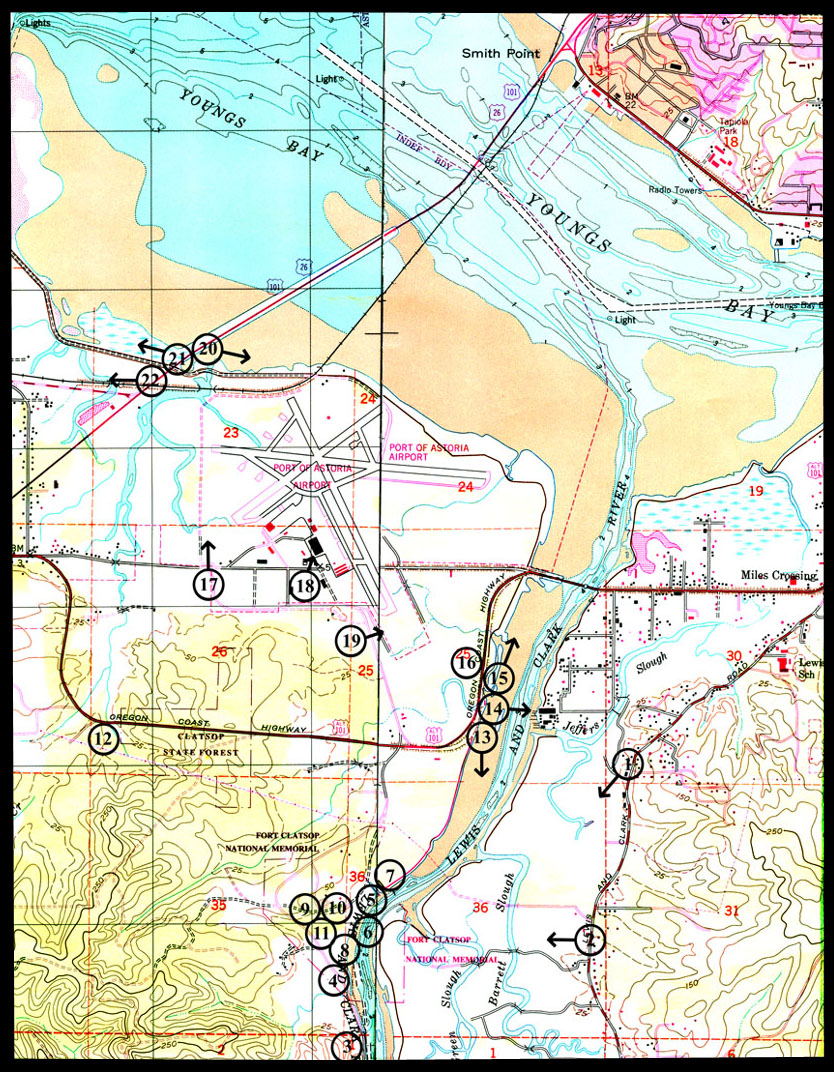
Figure 2: Fort Clatsop Photo
Essay
Ground Photograph Locations With
Line-of-Site
Plate numbers correspond with circled numbers on the reduced section (Fort Clatsop site) of the Warrenton-Arstoria quadrangle. Arrows indicate directions of line-of-sight.